
Mapping and Photogrammetry
Our work is based on We collect topographical data to high accuracy implementing ground control points which then is uploaded to special software and analyzed with precision resulting in centimeter accurate 3D and 2D models allowing the client to scrutinize within their own time.
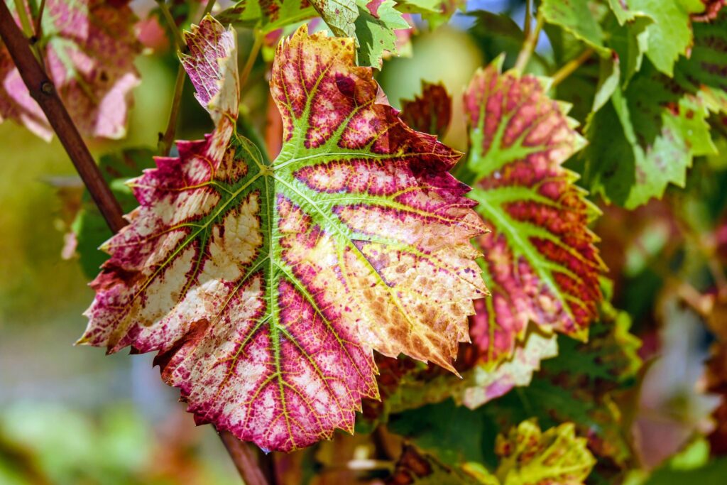
Forest inspections
Old-way forest surveys take much time and financial investments with the tiny guarantee of reliable results. With us, you can obtain an accurate number of trees, get a highly-precise estimate of the seedling survival rate, and assess potential damage in a fraction of daylight.
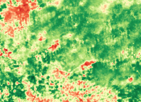
For farmers
We are helping crops growers to learn different field processes and simplify plant monitoring and decrease the time and resources of assigning field activities. Our solution enables fast and accurate plant and weed counting, plant health monitoring, yield estimations, damage detection, variable rate maps, and more.